account anchor arrow-down arrow-left-thick arrow-right-solid arrow-right-thick arrow-right arrow-up audio bookmark-solid bookmark close compass dashboard delete download email explore hamburger help home image locate login marker-icon marker-multiple marker-single minus note options pause pdf play plus print refine search share shortlist signup skip sort-detail sort-image sort-list star tick timeline tour vhr welcome zoom
  • Home
  • Skip to content
  • Create account
  • Log in
Victorian Heritage Database
Search in:
  • Advanced places/objects search
  • Advanced shipwreck search
  • Search tips

Browse heritage places

  • and

Browse Shipwrecks

  • and
  • and

Browse Tours

  • Recommended tours
  • Contributed tours
  • Create your own tour
Account login
Create account

Browse heritage places

  • and

Browse Shipwrecks

  • and
  • and

Browse Tours

  • Recommended tours
  • Contributed tours
  • Create your own tour
Back to search
  • Save Search
    You must log in to do that.
  • Share Search
  • Download Search

    The download will only include records from the current search page. You can increase the number of records to download by changing the number of 'listings per page' at the bottom of this page. Note that the maximum number of records that can be listed per page is 300. The download may exceed the number of records listed as any 'nested' records that have met the search criteria will also download.

    Download file (.xls)
Search results:
Back to search

Refine results by

    • SOUTHERN GRAMPIANS SHIRE (18)
    • Southern Grampians Shire (15)
    • Victorian Heritage Register (3)
    • Mid-Twentieth Century (1940-60) Austerity (1)
    • 1850 - 1879 (9)
    • < - 1849 (5)
    • 1910 - 1939 (2)
    • Registered place (18)
    • Registered object integral to a registered place (1)
    • Registered archaeological place (1)
    • Landscape - Cultural (18)
      • Historic Landscape (11)
      • Other - Landscape - Cultural (6)
      • Cultural Feature (1)
    • Farming and Grazing (7)
      • Homestead Complex (7)
    • Parks, Gardens and Trees (3)
      • Memorial (1)
      • Garden House (1)
      • Garden Residential (1)
      • Tree groups - avenue (1)
    • Cemeteries and Burial Sites (2)
      • Cemetery/Graveyard/Burial Ground (2)
    • Residential buildings (private) (2)
      • Homestead building (2)
    • Monuments and Memorials (1)
      • Memorial (1)
    • Urban Area (1)
      • Townscape (1)
    • Collections (1)
      • Community Objects (1)
    • Landscape - Natural (1)
      • Geological site or area (1)

Success

Error

Back to search
  • Save Search
    You must log in to do that.
  • Share Search
  • Download Search

    The download will only include records from the current search page. You can increase the number of records to download by changing the number of 'listings per page' at the bottom of this page. Note that the maximum number of records that can be listed per page is 300. The download may exceed the number of records listed as any 'nested' records that have met the search criteria will also download.

    Download file (.xls)
Search results:
Results filtered by: Landscape - Cultural Registered place SOUTHERN GRAMPIANS SHIRE
Displaying 1-25 of 18 records found 18 results
Name, details and heritage listing
Other authorities
  • MURNDAL

    1356 MURNDAL ROAD TAHARA, SOUTHERN GRAMPIANS SHIRE

    Victorian Heritage Register

    VHR H0289
    Shortlist
    You must log in to shortlist items.
    Download

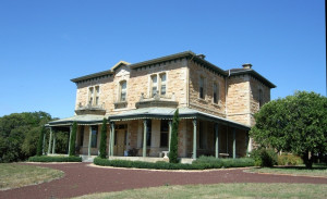
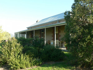
    Murndal is at the heart of a pastoral run formerly known as Spring Valley, which was initially part of a larger squatting run called Tahara. Tahara was held in the 1840s under two licences…

    Shortlist
    You must log in to shortlist items.
    Download
     
  • HAMILTON BOTANIC GARDENS

    KENNEDY STREET AND MARTIN STREET AND FRENCH STREET AND THOMPSON STREET HAMILTON, SOUTHERN GRAMPIANS SHIRE

    Victorian Heritage Register

    VHR H2185
    Shortlist
    You must log in to shortlist items.
    Download

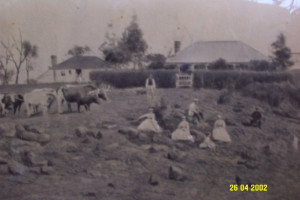
    The Hamilton Botanic Gardens are one of the earliest regional botanic gardens in Victoria. Hamilton was first surveyed in 1850 with land set aside for a public garden in 1853, and was…

    Shortlist
    You must log in to shortlist items.
    Download

    Also listed in:

    • Southern Grampians Shire
  • GRINGEGALGONA HOMESTEAD

    182 GRINGE DIP ROAD GRINGEGALGONA, SOUTHERN GRAMPIANS SHIRE

    Victorian Heritage Register

    VHR H1925
    Shortlist
    You must log in to shortlist items.
    Download

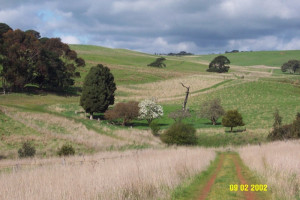
    Gringegalgona homestead was built for Duncan Robertson, a successful Western District pastoralist who acquired the Gringegalgona pastoral run with about 40,000 acres in c1861. The house was…

    Shortlist
    You must log in to shortlist items.
    Download
     
  • TARRAYOUKYAN CEMETERY

    Tarrayoukyan Road TARRAYOUKYAN, Southern Grampians Shire

    Southern Grampians Shire

    Shortlist
    You must log in to shortlist items.
    Download

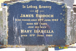
    The Tarrayoukyan cemetery is one of two places which mark the place where the village of Tarrayoukyan once stood. The cemetery and St. Joseph's Catholic Church are the only reminders of the…

    Shortlist
    You must log in to shortlist items.
    Download
     
  • ARRANDOOVONG HOMESTEAD COMPLEX

    Chrome Road, BRANXHOLME VIC 3302 - Property No 112

    Southern Grampians Shire

    Shortlist
    You must log in to shortlist items.
    Download

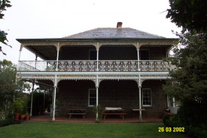
    The squatting run Arrandoovong dates from the earliest times, being taken up by Patrick Lynch in 1844. It's next owner was Thomas Best, a blacksmith in the service of the Henty family at…

    Shortlist
    You must log in to shortlist items.
    Download
     
  • SPRINGWOOD HOMESTEAD COMPLEX

    Brung Brungle Road, WANNON VIC 3301 - Property No 002

    Southern Grampians Shire

    Shortlist
    You must log in to shortlist items.
    Download

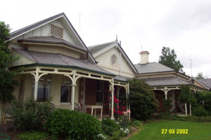
    The Springwood Homestead complex began as the squatting run, Bongmire, which was occupied by the Tulloh family. The run was forfeited because of Superintendent La Trobe's disfavour with the…

    Shortlist
    You must log in to shortlist items.
    Download
     
  • NIGRETTA FALLS RESERVE

    Nigretta Falls Road WANNON, Southern Grampians Shire

    Southern Grampians Shire

    Shortlist
    You must log in to shortlist items.
    Download

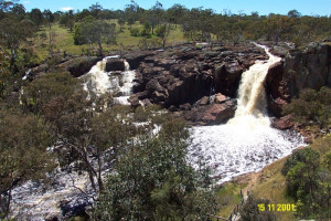
    The Nigretta Falls Reserve is about 12.5kms north-west of Hamilton at the site of the former Nigretta Homestead overlooking the Wannon river. The total area now reserved is about 8 hectares…

    Shortlist
    You must log in to shortlist items.
    Download
     
  • WANNON FALLS GATES & RESERVE

    Glenelg Highway and Morgiana Road WANNON, Southern Grampians Shire

    Southern Grampians Shire

    Shortlist
    You must log in to shortlist items.
    Download

    The Wannon Falls Reserve is located on the south side of the Henty Highway, about 18kms north-west of Hamilton where the highway crosses the Wannon river. The total area reserved is about…

    Shortlist
    You must log in to shortlist items.
    Download
     
  • COLERAINE CEMETERY

    Lower Hilgay Road COLERAINE, Southern Grampians Shire

    Southern Grampians Shire

    Shortlist
    You must log in to shortlist items.
    Download

    The Coleraine Public Cemetery is located approximately 2.5 kilometers to the south west of the Town, on Lower Hilgay Road. This road was previously the access road to Hilgay Station, and the…

    Shortlist
    You must log in to shortlist items.
    Download
     
  • TOOLANG HOMESTEAD COMPLEX (FORMERLY MAORI PARK)

    off Parkwood Road COLERAINE, Southern Grampians Shire

    Southern Grampians Shire

    Shortlist
    You must log in to shortlist items.
    Download

    George Trangmar established Toolang Homestead, off Parkwood Road about 13km east of Coleraine and 9km north of Wannon. Born in Brighton, England he arrived at Portland in 1849 where he was a…

    Shortlist
    You must log in to shortlist items.
    Download
     
  • AVENUE OF HONOUR

    Hamilton Highway and Scales Street PENSHURST, Southern Grampians Shire

    Southern Grampians Shire

    Shortlist
    You must log in to shortlist items.
    Download

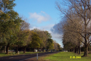
    The Avenue of Honour was planted along the Hamilton Highway in the 1920s to honour the men of Penshurst and district who served in World War One. Later plantings were added for those who…

    Shortlist
    You must log in to shortlist items.
    Download
     
  • MOUNT ROUSE AND CRATER RESERVE

    Mount Rouse Tourist Road PENSHURST, Southern Grampians Shire

    Southern Grampians Shire

    Shortlist
    You must log in to shortlist items.
    Download

    The Mount Rouse Crater reserve is located at the Termination of the Mount Rouse Tourist Road, approximately five kilometers south of the township of Penshurst. The reserve consists of…

    Shortlist
    You must log in to shortlist items.
    Download
     
  • BARRA HEAD HOMESTEAD COMPLEX

    Mirranatwa School Road, MIRRANATWA VIC 3294 - Property No 0050

    Southern Grampians Shire

    Shortlist
    You must log in to shortlist items.
    Download

    Amendment C6 - Revised Statement of Significance after submission and site inspection. Considered to be of local significance rather than state significance (AW 31/10/08) Barra Head is of…

    Shortlist
    You must log in to shortlist items.
    Download
     
  • CHEVIOT HILLS HOMESTEAD COMPLEX

    Ritchie Street, PENSHURST VIC 3289 - Property No 0010

    Southern Grampians Shire

    Shortlist
    You must log in to shortlist items.
    Download

    Cheviot Hills was established by David Hutton in the mid-1850s after the closure of the Mount Rouse Aboriginal Protectorate and the settlement of Penshurst. The Hutton family, which still…

    Shortlist
    You must log in to shortlist items.
    Download
     
  • MOUNT KOROITE HOMESTEAD (ORIGINAL SITE)

    Heffernan Lane COLERAINE, Southern Grampians Shire

    Southern Grampians Shire

    Shortlist
    You must log in to shortlist items.
    Download

    The original site of Mount Koroite Homestead is located about eight kilometers east of the township of Coleraine, and north of the second homestead, which is located at the top of the hill.…

    Shortlist
    You must log in to shortlist items.
    Download
     
  • KILLORAN

    Moree Road and Nareen-Coleraine Road NAREEN, Southern Grampians Shire

    Southern Grampians Shire

    Shortlist
    You must log in to shortlist items.
    Download

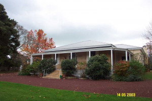
    Killoran, located on the Moree Road, approximately 20 kilometers north west of Coleraine is a typical Mount Gambier Stone house, set in extensive exotic and native garden. The house and…

    Shortlist
    You must log in to shortlist items.
    Download
     
  • COLERAINE HERITAGE PRECINCT

    Glenelg Highway COLERAINE, Southern Grampians Shire

    Southern Grampians Shire

    Shortlist
    You must log in to shortlist items.
    Download

    The township of Coleraine is located on the Hamilton Highway, 30.0 km west of Hamilton. The town developed at the road crossing of Bryant's Creek, particularly for traffic between Adelaide,…

    Shortlist
    You must log in to shortlist items.
    Download
     
  • PINUS SYLVESTRIS GROVE

    Strathkellar Road STRATHKELLAR, Southern Grampians Shire

    Southern Grampians Shire

    Shortlist
    You must log in to shortlist items.
    Download

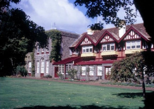
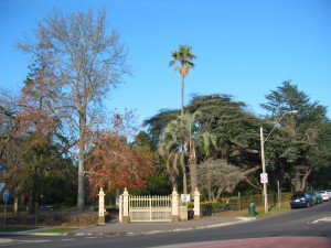
    The grove of fifteen Pinus sylvestris which are believed to be a landscape feature designed to be viewed from the garden of nearby Strathkellar (now Old Strathkellar) are located on a rise…
    Shortlist
    You must log in to shortlist items.
    Download
     
Account login
Create account

The Victorian Heritage Database is a searchable database containing information about thousands of heritage places and objects in Victoria. It includes entries for around 2400 places and objects of state significance listed in the Victorian Heritage Register as well as many places of archaeological interest included in the Victorian Heritage Inventory. Most of the database entries are local heritage places, listed on the heritage overlay from 29 local governments (out of 79 LGAs in the state). Information on heritage places from the National Trust and Victorian War Heritage Inventory is also included. Learn more.

State Government Victoria
  • Home
  • Advanced search
  • Account login
  • Heritage Council of Victoria
  • Heritage Victoria
  • Contact us
  • Copyright disclaimer
  • Privacy statement
  • Terms & Conditions
  • Accessibility statement
  • API
Digital Agency - Calico

You need to be logged into to perform this action. Please login here.