Back to search results
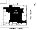
Claremont Avenue Precinct
Claremont Avenue MALVERN, Stonnington City
Claremont Avenue Precinct
Claremont Avenue MALVERN, Stonnington City
All information on this page is maintained by Stonnington City.
Click below for their website and contact details.
Stonnington City
On this page:
Statement of Significance
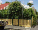
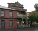
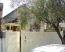
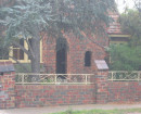
The Claremont Avenue area is of regional significance as a fine, representative and substantially intact example of an area subdivided in the 1880s and developed largely in the Federation and late Federation period under the impetus provided by improved public transport to Melbourne's eastern suburbs. It has historic associations with key figures in the land boom of the 1880s and crash of the 1890s, and retains a range of valued buildings stock. The integrity and internal consistency of the streetscapes to the Malvern Station Estate and the smaller but contemporary streets of Evandale Road and Gordon Grove are of particular note.
Show more
Show less
-
-
-
-
-
MYOORA
 Victorian Heritage Register H0490
 -
MALVERN RAILWAY STATION
Victorian Heritage Register H1575
-
PRIMARY SCHOOL NO.2586
Victorian Heritage Register H1710
-
13 Flinders Street, Queenscliff
 Queenscliffe Borough
 -
162 Nicholson Street
 Yarra City
 -
164 Nicholson Street
Yarra City
-
-